Canada Topographic Maps

Lac Natagabow Topo Maps

Topography maps and Latitude/Longitude Location

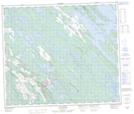
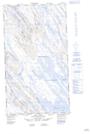
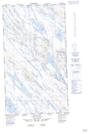
Maps showing Lac Natagabow, Rivière-Koksoak; Kativik, Quebec

Lac Natagabow is a Lake located in Rivière-Koksoak; Kativik, Quebec.

  • Latitude: 55° 1' 18'' North   (decimal: 55.0217683)
  • Longitude: 66° 58' 50'' West   (decimal: -66.9806649)
  • Topography Feature Category: Lake
  • Geographical Feature: Lac
  • Canadian Province/Territory: Quebec
  • Location: Rivière-Koksoak; Kativik
  • GPS Coordinate Locator Map: Lac Natagabow Lat/Long

Lac Natagabow NTS Map Sheets

023J15 Lac Knob Topographic Map at 1:50,000 scale

023O02E Lac Tait Topographic Map at 1:50,000 scale

023O02W Lac Tait Topographic Map at 1:50,000 scale

023J Schefferville Topographic Map at 1:250,000 scale

023O Lac Wakuach Topographic Map at 1:250,000 scale

 
Buy Topographic Maps DVD
Newsletter Sign-up

Yes, I want to receive map store discounts.


Bookmark and Share