Canada Topographic Maps

Rivière Natashquan Est Topo Maps

Topography maps and Latitude/Longitude Location

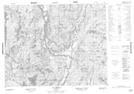
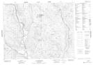
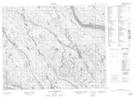
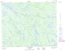
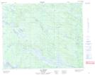
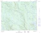
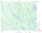
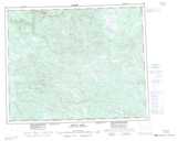
Maps showing Rivière Natashquan Est, Petit-Mécatina; Minganie, Quebec

Rivière Natashquan Est is a River located in Petit-Mécatina; Minganie, Quebec and has an elevation of 278 meters.

  • Latitude: 51° 20' 13'' North   (decimal: 51.3370213)
  • Longitude: 61° 40' 29'' West   (decimal: -61.6747879)
  • Topography Feature Category: River
  • Geographical Feature: Rivière
  • Canadian Province/Territory: Quebec
  • Elevation: 278 meters
  • Location: Petit-Mécatina; Minganie
  • Atlas of Canada Locator Map: Rivière Natashquan Est
  • GPS Coordinate Locator Map: Rivière Natashquan Est Lat/Long

Rivière Natashquan Est NTS Map Sheets

012N05 Lac Briend Topographic Map at 1:50,000 scale

012N12 Lac Kerdelhue Topographic Map at 1:50,000 scale

012N13 Lac Le Marquand Topographic Map at 1:50,000 scale

013C04 Lac Gaffaret Topographic Map at 1:50,000 scale

013C05 Lac Arvert Topographic Map at 1:50,000 scale

013D01 No Title Topographic Map at 1:50,000 scale

013D08 No Title Topographic Map at 1:50,000 scale

012N Riviere Natashquan Topographic Map at 1:250,000 scale

013C Minipi Lake Topographic Map at 1:250,000 scale

013D Lac Brule Topographic Map at 1:250,000 scale

 
Buy Topographic Maps DVD
Newsletter Sign-up

Yes, I want to receive map store discounts.


Bookmark and Share