Canada Topographic Maps

Rivière Natashquan Ouest Topo Maps

Topography maps and Latitude/Longitude Location

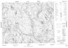
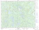
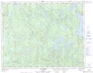
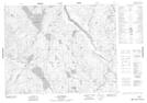
Maps showing Rivière Natashquan Ouest, Lac-Jérôme; Minganie, Quebec

Rivière Natashquan Ouest is a River located in Lac-Jérôme; Minganie, Quebec and has an elevation of 127 meters.

  • Latitude: 50° 53' 46'' North   (decimal: 50.8961892)
  • Longitude: 61° 42' 59'' West   (decimal: -61.7164647)
  • Topography Feature Category: River
  • Geographical Feature: Rivière
  • Canadian Province/Territory: Quebec
  • Elevation: 127 meters
  • Location: Lac-Jérôme; Minganie
  • Atlas of Canada Locator Map: Rivière Natashquan Ouest
  • GPS Coordinate Locator Map: Rivière Natashquan Ouest Lat/Long

Rivière Natashquan Ouest NTS Map Sheets

012K13 Lac Rancin Topographic Map at 1:50,000 scale

012M01 Lac Arthur Topographic Map at 1:50,000 scale

012M08 Lac Barrin Topographic Map at 1:50,000 scale

012N04 Lac Cormier Topographic Map at 1:50,000 scale

012K Musquaro Topographic Map at 1:250,000 scale

012M Lac De Morhiban Topographic Map at 1:250,000 scale

012N Riviere Natashquan Topographic Map at 1:250,000 scale

 
Buy Topographic Maps DVD
Newsletter Sign-up

Yes, I want to receive map store discounts.


Bookmark and Share