Canada Topographic Maps

Rivière Natastan Topo Maps

Topography maps and Latitude/Longitude Location

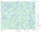
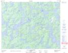
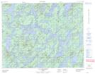
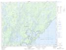
Maps showing Rivière Natastan, Baie-James; Jamésie, Quebec

Rivière Natastan is a River located in Baie-James; Jamésie, Quebec.

  • Latitude: 51° 20' 38'' North   (decimal: 51.3439713)
  • Longitude: 74° 57' 41'' West   (decimal: -74.9612975)
  • Topography Feature Category: River
  • Geographical Feature: Rivière
  • Canadian Province/Territory: Quebec
  • Location: Baie-James; Jamésie
  • Atlas of Canada Locator Map: Rivière Natastan
  • GPS Coordinate Locator Map: Rivière Natastan Lat/Long

Rivière Natastan NTS Map Sheets

032O01 Lac Miskittenau Topographic Map at 1:50,000 scale

032O07 Lac La Bardeliere Topographic Map at 1:50,000 scale

032O08 Lac Bellinger Topographic Map at 1:50,000 scale

032P04 Ile Peuvereau Topographic Map at 1:50,000 scale

032O Lac Mesgouez Topographic Map at 1:250,000 scale

032P Lac Baudeau Topographic Map at 1:250,000 scale

 
Buy Topographic Maps DVD
Newsletter Sign-up

Yes, I want to receive map store discounts.


Bookmark and Share