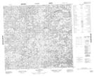
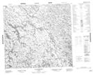
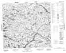
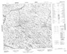
Maps showing Rivière Nedlouc, Rivière-Koksoak; Kativik, Quebec
Rivière Nedlouc is a River located in Rivière-Koksoak; Kativik, Quebec.
- Latitude: 57° 49' 42'' North (decimal: 57.8283333)
- Longitude: 73° 8' 37'' West (decimal: -73.1436111)
- Topography Feature Category: River
- Geographical Feature: Rivière
- Canadian Province/Territory: Quebec
- Location: Rivière-Koksoak; Kativik
- Atlas of Canada Locator Map: Rivière Nedlouc
- GPS Coordinate Locator Map: Rivière Nedlouc Lat/Long
Rivière Nedlouc NTS Map Sheets