Maps showing Rivière Noire, Waltham; Pontiac, Quebec
Rivière Noire is a River located in Waltham; Pontiac, Quebec and has an elevation of 248 meters.
- Latitude: 45° 54' 28'' North (decimal: 45.9078347)
- Longitude: 76° 56' 39'' West (decimal: -76.9441648)
- Topography Feature Category: River
- Geographical Feature: Rivière
- Canadian Province/Territory: Quebec
- Elevation: 248 meters
- Location: Waltham; Pontiac
- Atlas of Canada Locator Map: Rivière Noire
- GPS Coordinate Locator Map: Rivière Noire Lat/Long
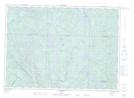
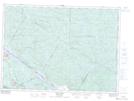
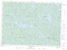
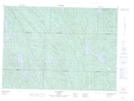
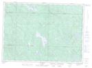
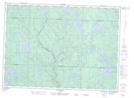
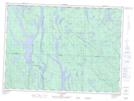
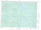
Rivière Noire NTS Map Sheets
031F15 Fort-Coulonge Topographic Map at 1:50,000 scale
031K02 Lac Usborne Topographic Map at 1:50,000 scale
031K03 Chalk River Topographic Map at 1:50,000 scale
031K06 Lac St-Patrice Topographic Map at 1:50,000 scale
031K07 Lac Duval Topographic Map at 1:50,000 scale
031K11 Lac Bruce Topographic Map at 1:50,000 scale
031K12 Lac Russell Topographic Map at 1:50,000 scale
031K13 Lac Dumoine Topographic Map at 1:50,000 scale
031K14 Lac Brule Topographic Map at 1:50,000 scale
031F Pembroke Topographic Map at 1:250,000 scale
031K Deep River Topographic Map at 1:250,000 scale