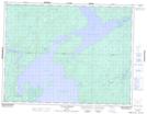
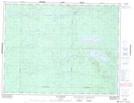
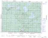
Maps showing Rivière Nomans, Baie-James; Jamésie, Quebec
Rivière Nomans is a River located in Baie-James; Jamésie, Quebec and has an elevation of 294 meters.
- Latitude: 49° 55' 11'' North (decimal: 49.9197222)
- Longitude: 76° 17' 28'' West (decimal: -76.2911111)
- Topography Feature Category: River
- Geographical Feature: Rivière
- Canadian Province/Territory: Quebec
- Elevation: 294 meters
- Location: Baie-James; Jamésie
- Atlas of Canada Locator Map: Rivière Nomans
- GPS Coordinate Locator Map: Rivière Nomans Lat/Long
Rivière Nomans NTS Map Sheets