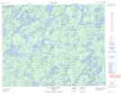
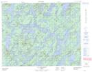
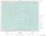
Maps showing Île du Nord-Ouest, Baie-James; Jamésie, Quebec
Île du Nord-Ouest is a Island located in Baie-James; Jamésie, Quebec and has an elevation of 332 meters.
- Latitude: 51° 20' 29'' North (decimal: 51.3414622)
- Longitude: 74° 22' 9'' West (decimal: -74.3690585)
- Topography Feature Category: Island
- Geographical Feature: Île / Ile
- Canadian Province/Territory: Quebec
- Elevation: 332 meters
- Location: Baie-James; Jamésie
- Atlas of Canada Locator Map: Île du Nord-Ouest
- GPS Coordinate Locator Map: Île du Nord-Ouest Lat/Long
Île du Nord-Ouest NTS Map Sheets