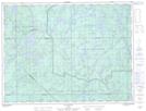
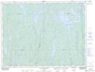
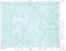
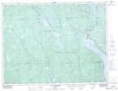
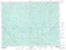
Maps showing Rivière Normandin, Lac-Ashuapmushuan; Le Domaine-du-Roy, Quebec
Rivière Normandin is a River located in Lac-Ashuapmushuan; Le Domaine-du-Roy, Quebec and has an elevation of 382 meters.
- Latitude: 49° 12' 12'' North (decimal: 49.2033951)
- Longitude: 73° 47' 49'' West (decimal: -73.7970571)
- Topography Feature Category: River
- Geographical Feature: Rivière
- Canadian Province/Territory: Quebec
- Elevation: 382 meters
- Location: Lac-Ashuapmushuan; Le Domaine-du-Roy
- Atlas of Canada Locator Map: Rivière Normandin
- GPS Coordinate Locator Map: Rivière Normandin Lat/Long
Rivière Normandin NTS Map Sheets
032B16 Lac Dubois Topographic Map at 1:50,000 scale
032G01 Lac Poutrincourt Topographic Map at 1:50,000 scale
032G08 Lac Rohault Topographic Map at 1:50,000 scale
032H04 Lac Chigoubiche Topographic Map at 1:50,000 scale
032H05 Lac Aigremont Topographic Map at 1:50,000 scale
032B Reservoir Gouin Topographic Map at 1:250,000 scale
032G Chibougamau Topographic Map at 1:250,000 scale
032H Riviere Mistassini Topographic Map at 1:250,000 scale