Maps showing Rivière Olomane, Côte-Nord-du-Golfe-du-Saint-Laurent; Basse-Côte-Nord, Quebec
Rivière Olomane is a River located in Côte-Nord-du-Golfe-du-Saint-Laurent; Basse-Côte-Nord, Quebec and has an elevation of 7 meters.
- Latitude: 50° 14' 0'' North (decimal: 50.2333980)
- Longitude: 60° 38' 17'' West (decimal: -60.6381009)
- Topography Feature Category: River
- Geographical Feature: Rivière
- Canadian Province/Territory: Quebec
- Elevation: 7 meters
- Location: Côte-Nord-du-Golfe-du-Saint-Laurent; Basse-Côte-Nord
- Atlas of Canada Locator Map: Rivière Olomane
- GPS Coordinate Locator Map: Rivière Olomane Lat/Long
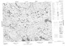
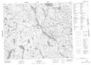
Rivière Olomane NTS Map Sheets
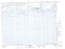
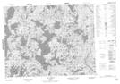
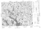
012K02 Gethsemani Topographic Map at 1:50,000 scale
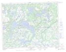
012K07 Lac Washicoutai Topographic Map at 1:50,000 scale
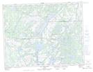
012K08 Lac Coacoachou Topographic Map at 1:50,000 scale
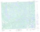
012K09 Lac Wabouchagamou Topographic Map at 1:50,000 scale
012K10 Lac Cauchy Topographic Map at 1:50,000 scale
012K15 Lac Goyelle Topographic Map at 1:50,000 scale
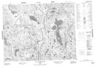
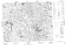
012N02 Lac Montcevelles Topographic Map at 1:50,000 scale
012N07 Lac Lorens Topographic Map at 1:50,000 scale
012N10 Lac Le Tort Topographic Map at 1:50,000 scale
012N11 Lac Du Nort Topographic Map at 1:50,000 scale
012K Musquaro Topographic Map at 1:250,000 scale
012N Riviere Natashquan Topographic Map at 1:250,000 scale