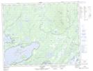
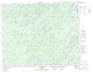
Maps showing Rivière Otchéguawac, Baie-James; Jamésie, Quebec
Rivière Otchéguawac is a River located in Baie-James; Jamésie, Quebec.
- Latitude: 51° 22' 40'' North (decimal: 51.3777778)
- Longitude: 72° 42' 20'' West (decimal: -72.7055556)
- Topography Feature Category: River
- Geographical Feature: Rivière
- Canadian Province/Territory: Quebec
- Location: Baie-James; Jamésie
- GPS Coordinate Locator Map: Rivière Otchéguawac Lat/Long
Rivière Otchéguawac NTS Map Sheets