Maps showing Rivière Ouasiemsca, Girardville; Maria-Chapdelaine, Quebec
Rivière Ouasiemsca is a River located in Girardville; Maria-Chapdelaine, Quebec and has an elevation of 239 meters.
- Latitude: 49° 0' 3'' North (decimal: 49.0008379)
- Longitude: 72° 28' 43'' West (decimal: -72.4785922)
- Topography Feature Category: River
- Geographical Feature: Rivière
- Canadian Province/Territory: Quebec
- Elevation: 239 meters
- Location: Girardville; Maria-Chapdelaine
- Atlas of Canada Locator Map: Rivière Ouasiemsca
- GPS Coordinate Locator Map: Rivière Ouasiemsca Lat/Long
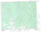
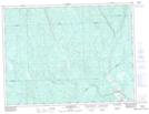
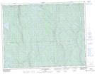
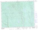
Rivière Ouasiemsca NTS Map Sheets
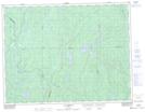
032A15 Normandin Topographic Map at 1:50,000 scale
032A16 Dolbeau-Mistassini Topographic Map at 1:50,000 scale
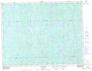
032H01 Melancon Topographic Map at 1:50,000 scale
032H02 Girardville Topographic Map at 1:50,000 scale
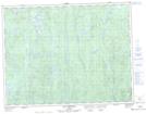
032H07 Lac Blondelas Topographic Map at 1:50,000 scale
032H10 Lac Aux Huards Topographic Map at 1:50,000 scale
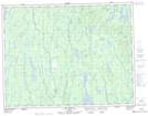
032H11 Lac Bourgat Topographic Map at 1:50,000 scale
032H14 Lac Rivard Topographic Map at 1:50,000 scale
032I02 Lac Verreault Topographic Map at 1:50,000 scale
032I03 Lac Dutilly Topographic Map at 1:50,000 scale
032A Roberval Topographic Map at 1:250,000 scale
032H Riviere Mistassini Topographic Map at 1:250,000 scale
032I Baie Abatagouche Topographic Map at 1:250,000 scale