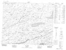
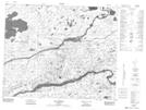
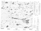
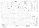
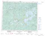
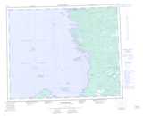
Maps showing Rivière la Pêche, Baie-James; Jamésie, Quebec
Rivière la Pêche is a River located in Baie-James; Jamésie, Quebec and has an elevation of 72 meters.
- Latitude: 52° 15' 19'' North (decimal: 52.2552778)
- Longitude: 78° 26' 40'' West (decimal: -78.4444444)
- Topography Feature Category: River
- Geographical Feature: Rivière
- Canadian Province/Territory: Quebec
- Elevation: 72 meters
- Location: Baie-James; Jamésie
- Atlas of Canada Locator Map: Rivière la Pêche
- GPS Coordinate Locator Map: Rivière la Pêche Lat/Long
Rivière la Pêche NTS Map Sheets
033C05 Lac Elmer Topographic Map at 1:50,000 scale
033C06 Lac Duxbury Topographic Map at 1:50,000 scale
033C11 Lac Bernou Topographic Map at 1:50,000 scale
033D08 Riviere Conn Topographic Map at 1:50,000 scale
033C Reservoir Opinaca Topographic Map at 1:250,000 scale
033D Eastmain Topographic Map at 1:250,000 scale
033C06 Lac Duxbury Topographic Map at 1:50,000 scale
033C11 Lac Bernou Topographic Map at 1:50,000 scale
033D08 Riviere Conn Topographic Map at 1:50,000 scale
033C Reservoir Opinaca Topographic Map at 1:250,000 scale
033D Eastmain Topographic Map at 1:250,000 scale