Canada Topographic Maps

Rivière Pelletier Topo Maps

Topography maps and Latitude/Longitude Location

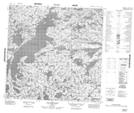
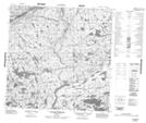
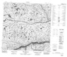
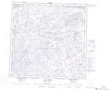
Maps showing Rivière Pelletier, Rivière-Koksoak; Kativik, Quebec

Rivière Pelletier is a River located in Rivière-Koksoak; Kativik, Quebec.

  • Latitude: 60° 1' 4'' North   (decimal: 60.0177418)
  • Longitude: 71° 44' 53'' West   (decimal: -71.7479434)
  • Topography Feature Category: River
  • Geographical Feature: Rivière
  • Canadian Province/Territory: Quebec
  • Location: Rivière-Koksoak; Kativik
  • GPS Coordinate Locator Map: Rivière Pelletier Lat/Long

Rivière Pelletier NTS Map Sheets

024M12 Lac Desclaux Topographic Map at 1:50,000 scale

024M13 Cap Qilummijuq Topographic Map at 1:50,000 scale

025D04 Iles Urpituuq Topographic Map at 1:50,000 scale

024M Lac Peters Topographic Map at 1:250,000 scale

025D Riviere Arnaud (Payne) Topographic Map at 1:250,000 scale

 
Buy Topographic Maps DVD
Newsletter Sign-up

Yes, I want to receive map store discounts.


Bookmark and Share