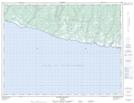
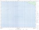
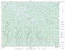
Maps showing Rivière aux Plats, L'Île-d'Anticosti; Minganie, Quebec
Rivière aux Plats is a River located in L'Île-d'Anticosti; Minganie, Quebec and has an elevation of 44 meters.
- Latitude: 49° 12' 49'' North (decimal: 49.2136111)
- Longitude: 63° 0' 36'' West (decimal: -63.01)
- Topography Feature Category: River
- Geographical Feature: Rivière
- Canadian Province/Territory: Quebec
- Elevation: 44 meters
- Location: L'Île-d'Anticosti; Minganie
- Atlas of Canada Locator Map: Rivière aux Plats
- GPS Coordinate Locator Map: Rivière aux Plats Lat/Long
Rivière aux Plats NTS Map Sheets