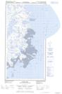
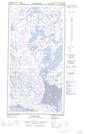
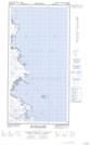
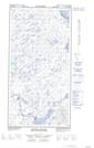
Maps showing Îles Plover, Rivière-Koksoak; Kativik, Quebec
Îles Plover is a Island located in Rivière-Koksoak; Kativik, Quebec.
- Latitude: 60° 18' 1'' North (decimal: 60.3002778)
- Longitude: 69° 35' 4'' West (decimal: -69.5844444)
- Topography Feature Category: Island
- Geographical Feature: Îles / Iles
- Canadian Province/Territory: Quebec
- Location: Rivière-Koksoak; Kativik
- Atlas of Canada Locator Map: Îles Plover
- GPS Coordinate Locator Map: Îles Plover Lat/Long
Îles Plover NTS Map Sheets