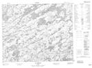
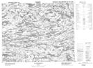
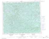
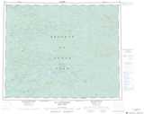
Maps showing Lac Pol, Baie-James; Jamésie, Quebec
Lac Pol is a Lake located in Baie-James; Jamésie, Quebec.
- Latitude: 52° 41' 38'' North (decimal: 52.6939760)
- Longitude: 73° 59' 19'' West (decimal: -73.9885027)
- Topography Feature Category: Lake
- Geographical Feature: Lac
- Canadian Province/Territory: Quebec
- Location: Baie-James; Jamésie
- Atlas of Canada Locator Map: Lac Pol
- GPS Coordinate Locator Map: Lac Pol Lat/Long
Lac Pol NTS Map Sheets