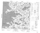
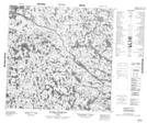
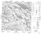
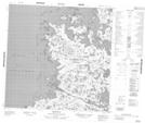
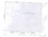
Maps showing Rivière Polemond, Baie-d'Hudson; Kativik, Quebec
Rivière Polemond is a River located in Baie-d'Hudson; Kativik, Quebec and has an elevation of 0 meters.
- Latitude: 59° 33' 19'' North (decimal: 59.5552520)
- Longitude: 77° 45' 19'' West (decimal: -77.7551797)
- Topography Feature Category: River
- Geographical Feature: Rivière
- Canadian Province/Territory: Quebec
- Elevation: 0 meters
- Location: Baie-d'Hudson; Kativik
- Atlas of Canada Locator Map: Rivière Polemond
- GPS Coordinate Locator Map: Rivière Polemond Lat/Long
Rivière Polemond NTS Map Sheets