Canada Topographic Maps

Rivière Potier Topo Maps

Topography maps and Latitude/Longitude Location

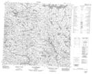
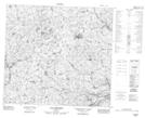
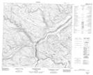
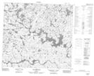
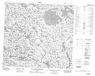
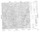
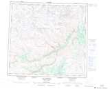
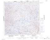
Maps showing Rivière Potier, Rivière-Koksoak; Kativik, Quebec

Rivière Potier is a River located in Rivière-Koksoak; Kativik, Quebec.

  • Latitude: 57° 20' 40'' North   (decimal: 57.3444444)
  • Longitude: 70° 46' 35'' West   (decimal: -70.7763889)
  • Topography Feature Category: River
  • Geographical Feature: Rivière
  • Canadian Province/Territory: Quebec
  • Location: Rivière-Koksoak; Kativik
  • Atlas of Canada Locator Map: Rivière Potier
  • GPS Coordinate Locator Map: Rivière Potier Lat/Long

Rivière Potier NTS Map Sheets

024E05 Lac Grammont Topographic Map at 1:50,000 scale

024E06 Lac Lamaletie Topographic Map at 1:50,000 scale

024E07 Riviere Potier Topographic Map at 1:50,000 scale

024E11 Lac Ikirtuuq Topographic Map at 1:50,000 scale

024E12 Lac Kakiattukallak Topographic Map at 1:50,000 scale

034H09 Lac Duvert Topographic Map at 1:50,000 scale

024E Lac Aigneau Topographic Map at 1:250,000 scale

034H Lac Nedlouc Topographic Map at 1:250,000 scale

 
Buy Topographic Maps DVD
Newsletter Sign-up

Yes, I want to receive map store discounts.


Bookmark and Share