Canada Topographic Maps

Rivière Praslin Topo Maps

Topography maps and Latitude/Longitude Location

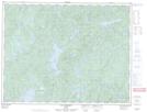
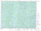
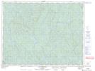
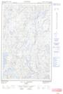
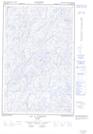
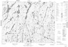
Maps showing Rivière Praslin, Lac-au-Brochet; La Haute-Côte-Nord, Quebec

Rivière Praslin is a River located in Lac-au-Brochet; La Haute-Côte-Nord, Quebec and has an elevation of 427 meters.

  • Latitude: 49° 59' 27'' North   (decimal: 49.9908888)
  • Longitude: 69° 54' 50'' West   (decimal: -69.9137576)
  • Topography Feature Category: River
  • Geographical Feature: Rivière
  • Canadian Province/Territory: Quebec
  • Elevation: 427 meters
  • Location: Lac-au-Brochet; La Haute-Côte-Nord
  • Atlas of Canada Locator Map: Rivière Praslin
  • GPS Coordinate Locator Map: Rivière Praslin Lat/Long

Rivière Praslin NTS Map Sheets

022F13 Lac Dissimieux Topographic Map at 1:50,000 scale

022K04 Lac Praslin Topographic Map at 1:50,000 scale

022K05 Lac Tremaudan Topographic Map at 1:50,000 scale

022K12E Lac A L'Argent Topographic Map at 1:50,000 scale

022K12W Lac A L'Argent Topographic Map at 1:50,000 scale

022L08 Lac Du Raccourci Topographic Map at 1:50,000 scale

022F Baie-Comeau Topographic Map at 1:250,000 scale

022K Lac Berte Topographic Map at 1:250,000 scale

022L Lac Peribonca Topographic Map at 1:250,000 scale

 
Buy Topographic Maps DVD
Newsletter Sign-up

Yes, I want to receive map store discounts.


Bookmark and Share