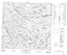
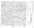
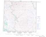
Maps showing Lac Qamanialuk, Rivière-Koksoak; Kativik, Quebec
Lac Qamanialuk is a Lake located in Rivière-Koksoak; Kativik, Quebec.
- Latitude: 57° 56' 25'' North (decimal: 57.9401472)
- Longitude: 65° 0' 21'' West (decimal: -65.0058010)
- Topography Feature Category: Lake
- Geographical Feature: Lac
- Canadian Province/Territory: Quebec
- Location: Rivière-Koksoak; Kativik
- Atlas of Canada Locator Map: Lac Qamanialuk
- GPS Coordinate Locator Map: Lac Qamanialuk Lat/Long
Lac Qamanialuk NTS Map Sheets