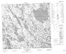
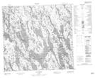
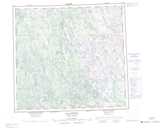
Maps showing Lac Qarlialuarutaq, Rivière-Koksoak; Kativik, Quebec
Lac Qarlialuarutaq is a Lake located in Rivière-Koksoak; Kativik, Quebec.
- Latitude: 57° 30' 41'' North (decimal: 57.5113889)
- Longitude: 66° 46' 51'' West (decimal: -66.7808333)
- Topography Feature Category: Lake
- Geographical Feature: Lac
- Canadian Province/Territory: Quebec
- Location: Rivière-Koksoak; Kativik
- Atlas of Canada Locator Map: Lac Qarlialuarutaq
- GPS Coordinate Locator Map: Lac Qarlialuarutaq Lat/Long
Lac Qarlialuarutaq NTS Map Sheets