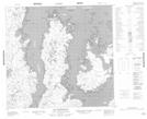
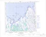
Maps showing Île Qikirtajuaq, Rivière-Koksoak; Kativik, Quebec
Île Qikirtajuaq is a Island located in Rivière-Koksoak; Kativik, Quebec.
- Latitude: 58° 19' 27'' North (decimal: 58.3241667)
- Longitude: 67° 35' 52'' West (decimal: -67.5977778)
- Topography Feature Category: Island
- Geographical Feature: Île / Ile
- Canadian Province/Territory: Quebec
- Location: Rivière-Koksoak; Kativik
- Atlas of Canada Locator Map: Île Qikirtajuaq
- GPS Coordinate Locator Map: Île Qikirtajuaq Lat/Long
Île Qikirtajuaq NTS Map Sheets