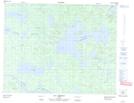
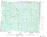
Maps showing Mont Rabbit, Baie-James; Jamésie, Quebec
Mont Rabbit is a Mountain located in Baie-James; Jamésie, Quebec and has an elevation of 342 meters.
- Latitude: 50° 45' 44'' North (decimal: 50.7622222)
- Longitude: 76° 27' 3'' West (decimal: -76.4508333)
- Topography Feature Category: Mountain
- Geographical Feature: Mont
- Canadian Province/Territory: Quebec
- Elevation: 342 meters
- Location: Baie-James; Jamésie
- Atlas of Canada Locator Map: Mont Rabbit
- GPS Coordinate Locator Map: Mont Rabbit Lat/Long
Mont Rabbit NTS Map Sheets