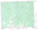
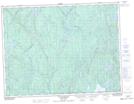
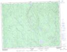
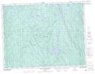
Maps showing Rivière aux Rats, Dolbeau-Mistassini; Maria-Chapdelaine, Quebec
Rivière aux Rats is a River located in Dolbeau-Mistassini; Maria-Chapdelaine, Quebec and has an elevation of 165 meters.
- Latitude: 48° 53' 31'' North (decimal: 48.8919020)
- Longitude: 72° 14' 26'' West (decimal: -72.2406686)
- Topography Feature Category: River
- Geographical Feature: Rivière
- Canadian Province/Territory: Quebec
- Elevation: 165 meters
- Location: Dolbeau-Mistassini; Maria-Chapdelaine
- Atlas of Canada Locator Map: Rivière aux Rats
- GPS Coordinate Locator Map: Rivière aux Rats Lat/Long
Rivière aux Rats NTS Map Sheets
032A16 Dolbeau-Mistassini Topographic Map at 1:50,000 scale
032H01 Melancon Topographic Map at 1:50,000 scale
032H08 Lac Bellemare Topographic Map at 1:50,000 scale
032H09 Lac Clair Topographic Map at 1:50,000 scale
032H16 Grand Lac Jourdain Topographic Map at 1:50,000 scale
032A Roberval Topographic Map at 1:250,000 scale
032H Riviere Mistassini Topographic Map at 1:250,000 scale