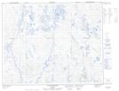
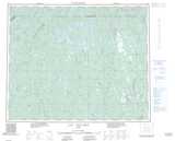
Maps showing Lac Rond, Rivière-Mouchalagane; Caniapiscau, Quebec
Lac Rond is a Lake located in Rivière-Mouchalagane; Caniapiscau, Quebec and has an elevation of 644 meters.
- Latitude: 52° 6' 49'' North (decimal: 52.1136788)
- Longitude: 68° 5' 58'' West (decimal: -68.0994040)
- Topography Feature Category: Lake
- Geographical Feature: Lac
- Canadian Province/Territory: Quebec
- Elevation: 644 meters
- Location: Rivière-Mouchalagane; Caniapiscau
- Atlas of Canada Locator Map: Lac Rond
- GPS Coordinate Locator Map: Lac Rond Lat/Long
Lac Rond NTS Map Sheets