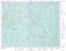
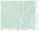
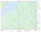
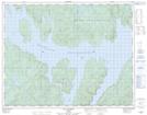
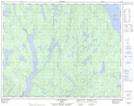
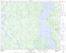
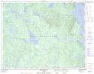
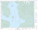
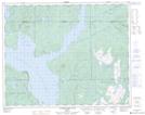
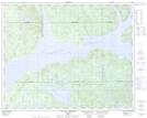
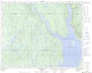
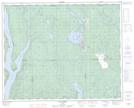
Maps showing Lac Saint-Barnabé, Rivière-aux-Outardes; Manicouagan, Quebec
Lac Saint-Barnabé is a Lake located in Rivière-aux-Outardes; Manicouagan, Quebec.
- Latitude: 51° 8' North (decimal: 51.1333000)
- Longitude: 68° 45' West (decimal: -68.7500000)
- Topography Feature Category: Lake
- Geographical Feature: Lac
- Canadian Province/Territory: Quebec
- Location: Rivière-aux-Outardes; Manicouagan
- GPS Coordinate Locator Map: Lac Saint-Barnabé Lat/Long
Lac Saint-Barnabé NTS Map Sheets
022K10 Lac De La Cache Topographic Map at 1:50,000 scale
022K15 Lac Du Bois Long Topographic Map at 1:50,000 scale
022N01 Lac Mathevet Topographic Map at 1:50,000 scale
022N02 Lac Lacoste Topographic Map at 1:50,000 scale
022N03 Lac Tetepisca Topographic Map at 1:50,000 scale
022N06 Riviere Utishku Topographic Map at 1:50,000 scale
022N07 Mont De Babel Topographic Map at 1:50,000 scale
022N08 Lac Lacoursiere Topographic Map at 1:50,000 scale
022N09 Riviere Hart Jaune Topographic Map at 1:50,000 scale
022N10 Lac Du Chaunoy Topographic Map at 1:50,000 scale
022N11 Lac Landriaux Topographic Map at 1:50,000 scale
022N16 Lac Barbel Topographic Map at 1:50,000 scale
022K Lac Berte Topographic Map at 1:250,000 scale
022N Reservoir Manicouagan Topographic Map at 1:250,000 scale