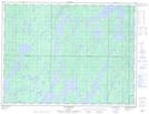
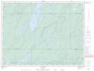
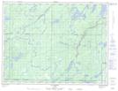
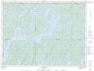
Maps showing Rivière Saint-Cyr, Baie-James; Jamésie, Quebec
Rivière Saint-Cyr is a River located in Baie-James; Jamésie, Quebec and has an elevation of 390 meters.
- Latitude: 49° 19' 12'' North (decimal: 49.3200704)
- Longitude: 75° 18' 41'' West (decimal: -75.3112747)
- Topography Feature Category: River
- Geographical Feature: Rivière
- Canadian Province/Territory: Quebec
- Elevation: 390 meters
- Location: Baie-James; Jamésie
- Atlas of Canada Locator Map: Rivière Saint-Cyr
- GPS Coordinate Locator Map: Rivière Saint-Cyr Lat/Long
Rivière Saint-Cyr NTS Map Sheets