Maps showing Rivière Sakami, Baie-James; Jamésie, Quebec
Rivière Sakami is a River located in Baie-James; Jamésie, Quebec and has an elevation of 186 meters.
- Latitude: 53° 31' 20'' North (decimal: 53.5223368)
- Longitude: 76° 39' 54'' West (decimal: -76.6649996)
- Topography Feature Category: River
- Geographical Feature: Rivière
- Canadian Province/Territory: Quebec
- Elevation: 186 meters
- Location: Baie-James; Jamésie
- Atlas of Canada Locator Map: Rivière Sakami
- GPS Coordinate Locator Map: Rivière Sakami Lat/Long
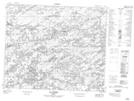
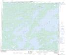
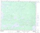
Rivière Sakami NTS Map Sheets
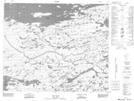
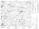
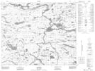
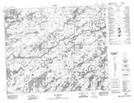
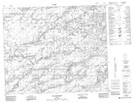
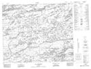
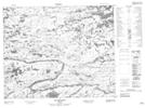
023E04 Lac Joubert Topographic Map at 1:50,000 scale
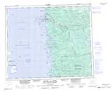
033E03 No Title Topographic Map at 1:50,000 scale
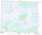
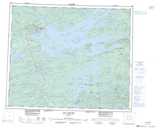
033F07 Lac Sakami Topographic Map at 1:50,000 scale
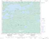
033F08 Lac De Vaulx Topographic Map at 1:50,000 scale
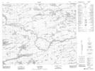
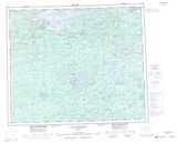
033F10 Passe Awapakamich Topographic Map at 1:50,000 scale
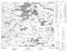
033G01 Lac Lakanal Topographic Map at 1:50,000 scale
033G02 Lac De La Fregate Topographic Map at 1:50,000 scale
033G03 Lac Casterne Topographic Map at 1:50,000 scale
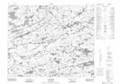
033G05 Topographic Map at 1:50,000 scale
033G06 Lac Chabrillan Topographic Map at 1:50,000 scale
033G07 Lac Brune Topographic Map at 1:50,000 scale
033H01 Lac Orillat Topographic Map at 1:50,000 scale
033H02 Lac Richardie Topographic Map at 1:50,000 scale
033H03 Lac Jacquelein Topographic Map at 1:50,000 scale
033H04 Lac Pelletan Topographic Map at 1:50,000 scale
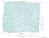
023E Nitchequon Topographic Map at 1:250,000 scale
033E Riviere Au Castor Topographic Map at 1:250,000 scale
033F Lac Sakami Topographic Map at 1:250,000 scale
033G Lac De La Fregate Topographic Map at 1:250,000 scale
033H Lac Sauvolles Topographic Map at 1:250,000 scale