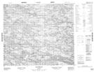
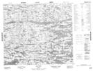
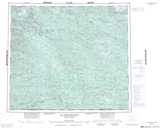
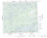
Maps showing Lac Sarry, Baie-d'Hudson; Kativik, Quebec
Lac Sarry is a Lake located in Baie-d'Hudson; Kativik, Quebec.
- Latitude: 55° 40' 21'' North (decimal: 55.6725)
- Longitude: 74° 1' 14'' West (decimal: -74.0205556)
- Topography Feature Category: Lake
- Geographical Feature: Lac
- Canadian Province/Territory: Quebec
- Location: Baie-d'Hudson; Kativik
- Atlas of Canada Locator Map: Lac Sarry
- GPS Coordinate Locator Map: Lac Sarry Lat/Long
Lac Sarry NTS Map Sheets