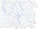
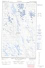
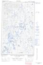
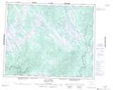
Maps showing Lac aux Sauterelles, Lac-Jérôme; Minganie, Quebec
Lac aux Sauterelles is a Lake located in Lac-Jérôme; Minganie, Quebec and has an elevation of 548 meters.
- Latitude: 51° 58' 50'' North (decimal: 51.9806160)
- Longitude: 64° 11' 48'' West (decimal: -64.1967739)
- Topography Feature Category: Lake
- Geographical Feature: Lac
- Canadian Province/Territory: Quebec
- Elevation: 548 meters
- Location: Lac-Jérôme; Minganie
- Atlas of Canada Locator Map: Lac aux Sauterelles
- GPS Coordinate Locator Map: Lac aux Sauterelles Lat/Long
Lac aux Sauterelles NTS Map Sheets