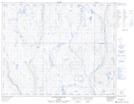
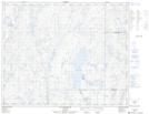
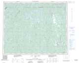
Maps showing Rivière Séchelles, Rivière-Mouchalagane; Caniapiscau, Quebec
Rivière Séchelles is a River located in Rivière-Mouchalagane; Caniapiscau, Quebec and has an elevation of 440 meters.
- Latitude: 52° 2' 42'' North (decimal: 52.0450503)
- Longitude: 69° 6' 42'' West (decimal: -69.1116345)
- Topography Feature Category: River
- Geographical Feature: Rivière
- Canadian Province/Territory: Quebec
- Elevation: 440 meters
- Location: Rivière-Mouchalagane; Caniapiscau
- Atlas of Canada Locator Map: Rivière Séchelles
- GPS Coordinate Locator Map: Rivière Séchelles Lat/Long
Rivière Séchelles NTS Map Sheets