Maps showing Rivière Shigami, Baie-James; Jamésie, Quebec
Rivière Shigami is a River located in Baie-James; Jamésie, Quebec.
- Latitude: 51° 55' 27'' North (decimal: 51.9242452)
- Longitude: 73° 44' 21'' West (decimal: -73.7390482)
- Topography Feature Category: River
- Geographical Feature: Rivière
- Canadian Province/Territory: Quebec
- Location: Baie-James; Jamésie
- GPS Coordinate Locator Map: Rivière Shigami Lat/Long
Rivière Shigami NTS Map Sheets
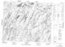
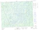
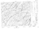
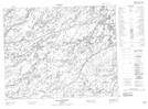
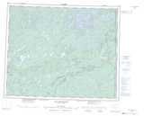
023D04 Lac Laparre Topographic Map at 1:50,000 scale
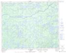
032P13 Lac Michaux Topographic Map at 1:50,000 scale
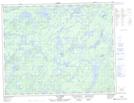
032P14 Lac Chamic Topographic Map at 1:50,000 scale
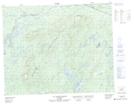
032P15 Lac Mantouchiche Topographic Map at 1:50,000 scale
032P16 Lac Hippocampe Topographic Map at 1:50,000 scale
033A01 Lac Barou Topographic Map at 1:50,000 scale
033A02 Lac Lavallette Topographic Map at 1:50,000 scale
023D Lac Naococane Topographic Map at 1:250,000 scale
032P Lac Baudeau Topographic Map at 1:250,000 scale
033A Lac Rossignol Topographic Map at 1:250,000 scale