Canada Topographic Maps

Rivière Shipshaw Topo Maps

Topography maps and Latitude/Longitude Location

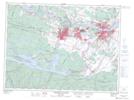
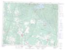
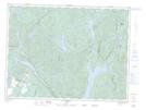
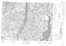
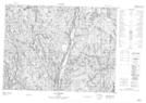
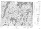
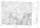
Maps showing Rivière Shipshaw, Saguenay; Saguenay, Quebec

Rivière Shipshaw is a River located in Saguenay; Saguenay, Quebec and has an elevation of 256 meters.

  • Latitude: 48° 26' 57'' North   (decimal: 48.4492101)
  • Longitude: 71° 12' 19'' West   (decimal: -71.2053705)
  • Topography Feature Category: River
  • Geographical Feature: Rivière
  • Canadian Province/Territory: Quebec
  • Elevation: 256 meters
  • Location: Saguenay; Saguenay
  • Atlas of Canada Locator Map: Rivière Shipshaw
  • GPS Coordinate Locator Map: Rivière Shipshaw Lat/Long

Rivière Shipshaw NTS Map Sheets

022D06 Jonquiere-Chicoutimi Topographic Map at 1:50,000 scale

022D11 Saint-Ambroise Topographic Map at 1:50,000 scale

022D14 Lac Vermont Topographic Map at 1:50,000 scale

022E03 Petit Lac Onatchiway Topographic Map at 1:50,000 scale

022E06 Lac Lemoine Topographic Map at 1:50,000 scale

022E07 Lac Rouvray Topographic Map at 1:50,000 scale

022E10 Lac Meloneze Topographic Map at 1:50,000 scale

022D Chicoutimi Topographic Map at 1:250,000 scale

022E Reservoir Pipmuacan Topographic Map at 1:250,000 scale

 
Buy Topographic Maps DVD
Newsletter Sign-up

Yes, I want to receive map store discounts.


Bookmark and Share