Canada Topographic Maps

Lac Siarqituup Tasinga Topo Maps

Topography maps and Latitude/Longitude Location

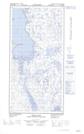
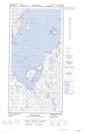
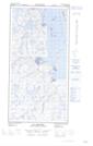
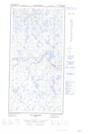
Maps showing Lac Siarqituup Tasinga, Rivière-Koksoak; Kativik, Quebec

Lac Siarqituup Tasinga is a Lake located in Rivière-Koksoak; Kativik, Quebec.

  • Latitude: 60° 48' 24'' North   (decimal: 60.8066117)
  • Longitude: 69° 59' 42'' West   (decimal: -69.9948843)
  • Topography Feature Category: Lake
  • Geographical Feature: Lac
  • Canadian Province/Territory: Quebec
  • Location: Rivière-Koksoak; Kativik
  • GPS Coordinate Locator Map: Lac Siarqituup Tasinga Lat/Long

Lac Siarqituup Tasinga NTS Map Sheets

025C13E Diana Bay Topographic Map at 1:50,000 scale

025C13W Diana Bay Topographic Map at 1:50,000 scale

025D16E Lac Brochin Topographic Map at 1:50,000 scale

025D16W Lac Brochin Topographic Map at 1:50,000 scale

025C Akpatok Island Topographic Map at 1:250,000 scale

025D Riviere Arnaud (Payne) Topographic Map at 1:250,000 scale

 
Buy Topographic Maps DVD
Newsletter Sign-up

Yes, I want to receive map store discounts.


Bookmark and Share