Maps showing Rivière Tassialouc, Rivière-Koksoak; Kativik, Quebec
Rivière Tassialouc is a River located in Rivière-Koksoak; Kativik, Quebec.
- Latitude: 59° 18' 12'' North (decimal: 59.3032825)
- Longitude: 73° 41' 28'' West (decimal: -73.6911354)
- Topography Feature Category: River
- Geographical Feature: Rivière
- Canadian Province/Territory: Quebec
- Location: Rivière-Koksoak; Kativik
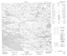
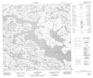
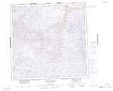
- Atlas of Canada Locator Map: Rivière Tassialouc
- GPS Coordinate Locator Map: Rivière Tassialouc Lat/Long
Rivière Tassialouc NTS Map Sheets