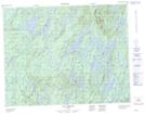
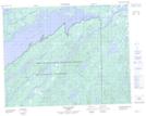
Maps showing Rivière Tétipiskaw, Baie-James; Jamésie, Quebec
Rivière Tétipiskaw is a River located in Baie-James; Jamésie, Quebec.
- Latitude: 51° 5' 23'' North (decimal: 51.0897222)
- Longitude: 72° 49' 13'' West (decimal: -72.8202778)
- Topography Feature Category: River
- Geographical Feature: Rivière
- Canadian Province/Territory: Quebec
- Location: Baie-James; Jamésie
- GPS Coordinate Locator Map: Rivière Tétipiskaw Lat/Long
Rivière Tétipiskaw NTS Map Sheets