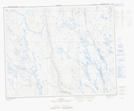
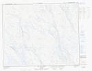
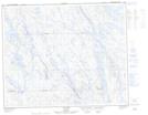
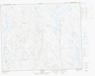
Maps showing Lac Todd, Rivière-Mouchalagane; Caniapiscau, Quebec
Lac Todd is a Lake located in Rivière-Mouchalagane; Caniapiscau, Quebec and has an elevation of 506 meters.
- Latitude: 52° 15' 2'' North (decimal: 52.2505556)
- Longitude: 67° 0' 49'' West (decimal: -67.0136111)
- Topography Feature Category: Lake
- Geographical Feature: Lac
- Canadian Province/Territory: Quebec
- Elevation: 506 meters
- Location: Rivière-Mouchalagane; Caniapiscau
- Atlas of Canada Locator Map: Lac Todd
- GPS Coordinate Locator Map: Lac Todd Lat/Long
Lac Todd NTS Map Sheets