Canada Topographic Maps

Rivière Trenche Topo Maps

Topography maps and Latitude/Longitude Location

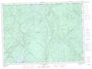
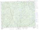
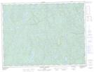
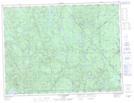
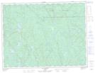
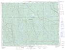
Maps showing Rivière Trenche, La Tuque; Le Haut-Saint-Maurice, Quebec

Rivière Trenche is a River located in La Tuque; Le Haut-Saint-Maurice, Quebec and has an elevation of 368 meters.

  • Latitude: 47° 49' 48'' North   (decimal: 47.8300436)
  • Longitude: 72° 51' 40'' West   (decimal: -72.8612217)
  • Topography Feature Category: River
  • Geographical Feature: Rivière
  • Canadian Province/Territory: Quebec
  • Elevation: 368 meters
  • Location: La Tuque; Le Haut-Saint-Maurice
  • Atlas of Canada Locator Map: Rivière Trenche
  • GPS Coordinate Locator Map: Rivière Trenche Lat/Long

Rivière Trenche NTS Map Sheets

031P15 Lac Chaumonot Topographic Map at 1:50,000 scale

032A02 Lac Aux Goelands Topographic Map at 1:50,000 scale

032A06 Riviere Cabeloga Topographic Map at 1:50,000 scale

032A07 Lac Bonhomme Topographic Map at 1:50,000 scale

032A11 Lac Trenche Topographic Map at 1:50,000 scale

032A14 Lac Beland Topographic Map at 1:50,000 scale

031P La Tuque Topographic Map at 1:250,000 scale

032A Roberval Topographic Map at 1:250,000 scale

 
Buy Topographic Maps DVD
Newsletter Sign-up

Yes, I want to receive map store discounts.


Bookmark and Share