Maps showing Rivière Vachon, Rivière-Koksoak; Kativik, Quebec
Rivière Vachon is a River located in Rivière-Koksoak; Kativik, Quebec and has an elevation of 24 meters.
- Latitude: 60° 4' 45'' North (decimal: 60.0791197)
- Longitude: 71° 8' 59'' West (decimal: -71.1498402)
- Topography Feature Category: River
- Geographical Feature: Rivière
- Canadian Province/Territory: Quebec
- Elevation: 24 meters
- Location: Rivière-Koksoak; Kativik
- Atlas of Canada Locator Map: Rivière Vachon
- GPS Coordinate Locator Map: Rivière Vachon Lat/Long
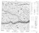
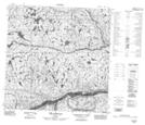
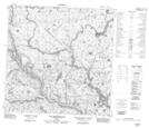
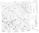
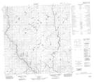
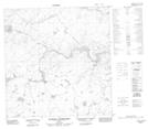
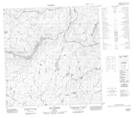
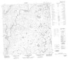
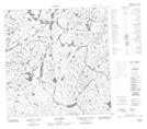
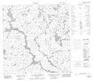
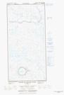
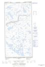
Rivière Vachon NTS Map Sheets
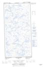
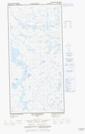
025D03 Pointe Akuliaq Topographic Map at 1:50,000 scale
025D04 Iles Urpituuq Topographic Map at 1:50,000 scale
025D05 Lac Qamanialuk Topographic Map at 1:50,000 scale
035A08 Lac Briscot Topographic Map at 1:50,000 scale
035A09 Topographic Map at 1:50,000 scale
035A14 Ruisseau Interrompu Topographic Map at 1:50,000 scale
035A15 Lac Kapijuq Topographic Map at 1:50,000 scale
035A16 Lac Des Ombles Topographic Map at 1:50,000 scale
035H02 Lac Arbot Topographic Map at 1:50,000 scale
035H03 Lac Nallusarqituq Topographic Map at 1:50,000 scale
035H05E Cratere Du Nouveau-Quebec Topographic Map at 1:50,000 scale
035H05W Cratere Du Nouveau-Quebec Topographic Map at 1:50,000 scale
035H06E Lac Cournoyer Topographic Map at 1:50,000 scale
035H06W Lac Cournoyer Topographic Map at 1:50,000 scale
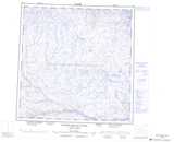
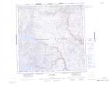
025D Riviere Arnaud (Payne) Topographic Map at 1:250,000 scale
035A Lac Klotz Topographic Map at 1:250,000 scale
035H Cratere Du Nouveau-Quebec Topographic Map at 1:250,000 scale