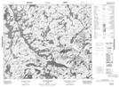
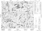
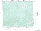
Maps showing Lac Vaubois, Caniapiscau; Caniapiscau, Quebec
Lac Vaubois is a Lake located in Caniapiscau; Caniapiscau, Quebec.
- Latitude: 53° 58' 30'' North (decimal: 53.975)
- Longitude: 68° 56' 34'' West (decimal: -68.9427778)
- Topography Feature Category: Lake
- Geographical Feature: Lac
- Canadian Province/Territory: Quebec
- Location: Caniapiscau; Caniapiscau
- Atlas of Canada Locator Map: Lac Vaubois
- GPS Coordinate Locator Map: Lac Vaubois Lat/Long
Lac Vaubois NTS Map Sheets