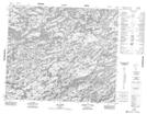
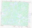
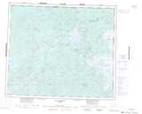
Maps showing Lac Vaulezar, Baie-James; Jamésie, Quebec
Lac Vaulezar is a Lake located in Baie-James; Jamésie, Quebec.
- Latitude: 54° 31' 46'' North (decimal: 54.5294444)
- Longitude: 71° 50' 16'' West (decimal: -71.8377778)
- Topography Feature Category: Lake
- Geographical Feature: Partie de réservoir
- Canadian Province/Territory: Quebec
- Location: Baie-James; Jamésie
- Atlas of Canada Locator Map: Lac Vaulezar
- GPS Coordinate Locator Map: Lac Vaulezar Lat/Long
Lac Vaulezar NTS Map Sheets