Canada Topographic Maps

Rivière Vermillon Topo Maps

Topography maps and Latitude/Longitude Location

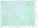
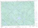
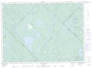
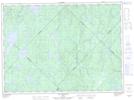
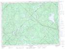
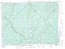
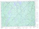
Maps showing Rivière Vermillon, La Tuque; Le Haut-Saint-Maurice, Quebec

Rivière Vermillon is a River located in La Tuque; Le Haut-Saint-Maurice, Quebec and has an elevation of 279 meters.

  • Latitude: 47° 38' 43'' North   (decimal: 47.6453185)
  • Longitude: 72° 56' 39'' West   (decimal: -72.9442723)
  • Topography Feature Category: River
  • Geographical Feature: Rivière
  • Canadian Province/Territory: Quebec
  • Elevation: 279 meters
  • Location: La Tuque; Le Haut-Saint-Maurice
  • Atlas of Canada Locator Map: Rivière Vermillon
  • GPS Coordinate Locator Map: Rivière Vermillon Lat/Long

Rivière Vermillon NTS Map Sheets

031O08 Lac Kempt Topographic Map at 1:50,000 scale

031P03 Lac Tousignant Topographic Map at 1:50,000 scale

031P04 Lac Devenyns Topographic Map at 1:50,000 scale

031P05 Lac Mondonac Topographic Map at 1:50,000 scale

031P06 Lac Boucher Topographic Map at 1:50,000 scale

031P10 La Croche Topographic Map at 1:50,000 scale

031P11 Lac Flamand Topographic Map at 1:50,000 scale

031O Lac Kempt Topographic Map at 1:250,000 scale

031P La Tuque Topographic Map at 1:250,000 scale

 
Buy Topographic Maps DVD
Newsletter Sign-up

Yes, I want to receive map store discounts.


Bookmark and Share