Maps showing South Great Whale River, Baie-d'Hudson; Kativik, Quebec
South Great Whale River is a River located in Baie-d'Hudson; Kativik, Quebec.
- Latitude: 55° 8' 48'' North (decimal: 55.1466667)
- Longitude: 77° 22' 35'' West (decimal: -77.3763889)
- Topography Feature Category: River
- Geographical Feature: Rivière
- Canadian Province/Territory: Quebec
- Location: Baie-d'Hudson; Kativik
- GPS Coordinate Locator Map: South Great Whale River Lat/Long
South Great Whale River NTS Map Sheets
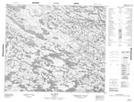
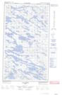
033K09 Lac Silvy Topographic Map at 1:50,000 scale
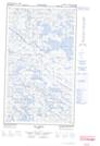
033K10 Topographic Map at 1:50,000 scale
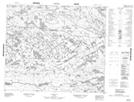
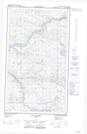
033K14E Lac Amyot Topographic Map at 1:50,000 scale
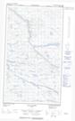
033K14W Lac Amyot Topographic Map at 1:50,000 scale
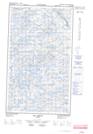
033K15E Lac Denys Topographic Map at 1:50,000 scale
033K15W Lac Denys Topographic Map at 1:50,000 scale
033N03E Lacs Adam Topographic Map at 1:50,000 scale
033N03W Lacs Adam Topographic Map at 1:50,000 scale
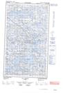
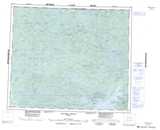
033K Riviere Denys Topographic Map at 1:250,000 scale
033N Poste-De-La-Baleine Topographic Map at 1:250,000 scale