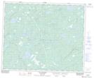
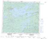
Maps showing Russ Hole, Baie-James; Jamésie, Quebec
Russ Hole is a Lake located in Baie-James; Jamésie, Quebec.
- Latitude: 53° 11' 34'' North (decimal: 53.1927778)
- Longitude: 77° 29' 37'' West (decimal: -77.4936111)
- Topography Feature Category: Lake
- Geographical Feature: Étang
- Canadian Province/Territory: Quebec
- Location: Baie-James; Jamésie
- GPS Coordinate Locator Map: Russ Hole Lat/Long
Russ Hole NTS Map Sheets