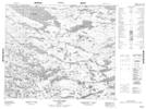
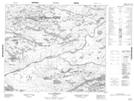
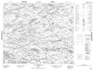
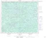
Maps showing Lac Yatisakus, Baie-James; Jamésie, Quebec
Lac Yatisakus is a Lake located in Baie-James; Jamésie, Quebec.
- Latitude: 54° 17' 12'' North (decimal: 54.2866667)
- Longitude: 75° 32' 28'' West (decimal: -75.5411111)
- Topography Feature Category: Lake
- Geographical Feature: Lac
- Canadian Province/Territory: Quebec
- Location: Baie-James; Jamésie
- Atlas of Canada Locator Map: Lac Yatisakus
- GPS Coordinate Locator Map: Lac Yatisakus Lat/Long
Lac Yatisakus NTS Map Sheets