Canada Topographic Maps

Rivière aux Foins Topo Maps

Topography maps and Latitude/Longitude Location

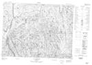
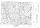
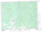
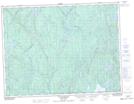
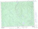
Maps showing Rivière aux Foins, Dolbeau-Mistassini; Maria-Chapdelaine, Quebec

Rivière aux Foins is a River located in Dolbeau-Mistassini; Maria-Chapdelaine, Quebec.

  • Latitude: 48° 53' 4'' North   (decimal: 48.8844104)
  • Longitude: 72° 13' 2'' West   (decimal: -72.2173609)
  • Topography Feature Category: River
  • Geographical Feature: Rivière
  • Canadian Province/Territory: Quebec
  • Location: Dolbeau-Mistassini; Maria-Chapdelaine
  • GPS Coordinate Locator Map: Rivière aux Foins Lat/Long

Rivière aux Foins NTS Map Sheets

022E05 Lac Chausson Topographic Map at 1:50,000 scale

022E12 Lac La Capelliere Topographic Map at 1:50,000 scale

032A16 Dolbeau-Mistassini Topographic Map at 1:50,000 scale

032H01 Melancon Topographic Map at 1:50,000 scale

032H08 Lac Bellemare Topographic Map at 1:50,000 scale

032H09 Lac Clair Topographic Map at 1:50,000 scale

022E Reservoir Pipmuacan Topographic Map at 1:250,000 scale

032A Roberval Topographic Map at 1:250,000 scale

032H Riviere Mistassini Topographic Map at 1:250,000 scale

 
Buy Topographic Maps DVD
Newsletter Sign-up

Yes, I want to receive map store discounts.


Bookmark and Share