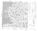
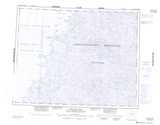
Maps showing Île Qilanaut, Baie-d'Hudson; Kativik, Quebec
Île Qilanaut is a Island located in Baie-d'Hudson; Kativik, Quebec.
- Latitude: 59° 59' 47'' North (decimal: 59.9963686)
- Longitude: 77° 19' 49'' West (decimal: -77.3303969)
- Topography Feature Category: Island
- Geographical Feature: Île / Ile
- Canadian Province/Territory: Quebec
- Location: Baie-d'Hudson; Kativik
- Atlas of Canada Locator Map: Île Qilanaut
- GPS Coordinate Locator Map: Île Qilanaut Lat/Long
Île Qilanaut NTS Map Sheets