Maps showing Lac Wiyasakami, Baie-d'Hudson; Kativik, Quebec
Lac Wiyasakami is a Lake located in Baie-d'Hudson; Kativik, Quebec.
- Latitude: 56° 6' 43'' North (decimal: 56.1119444)
- Longitude: 74° 26' 1'' West (decimal: -74.4336111)
- Topography Feature Category: Lake
- Geographical Feature: Lac
- Canadian Province/Territory: Quebec
- Location: Baie-d'Hudson; Kativik
- GPS Coordinate Locator Map: Lac Wiyasakami Lat/Long
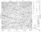
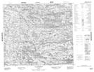
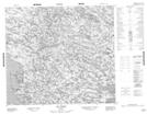
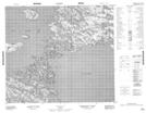
Lac Wiyasakami NTS Map Sheets
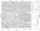
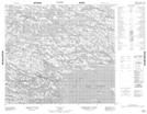
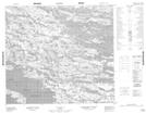
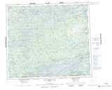
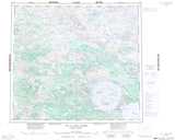
033O16 Lac Quereur Topographic Map at 1:50,000 scale
033P13 Lac Rousselin Topographic Map at 1:50,000 scale
034A04 Lac Lussay Topographic Map at 1:50,000 scale
034B01 Topographic Map at 1:50,000 scale
034B02 Topographic Map at 1:50,000 scale
034B07 Topographic Map at 1:50,000 scale
034B08 Topographic Map at 1:50,000 scale
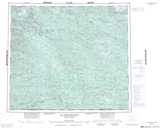
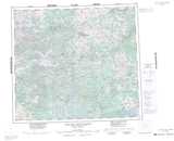
033O Lac Montrochand Topographic Map at 1:250,000 scale
033P Lac Bienville Topographic Map at 1:250,000 scale
034A Lac Des Loups Marins Topographic Map at 1:250,000 scale
034B Lac A L'Eau Claire Topographic Map at 1:250,000 scale