Maps showing Rivière Sainte-Marguerite, Sept-Îles; Sept-Rivières, Quebec
Rivière Sainte-Marguerite is a River located in Sept-Îles; Sept-Rivières, Quebec and has an elevation of 1 meters.
- Latitude: 50° 8' 34'' North (decimal: 50.1428274)
- Longitude: 66° 35' 46'' West (decimal: -66.5960497)
- Topography Feature Category: River
- Geographical Feature: Rivière
- Canadian Province/Territory: Quebec
- Elevation: 1 meters
- Location: Sept-Îles; Sept-Rivières
- Atlas of Canada Locator Map: Rivière Sainte-Marguerite
- GPS Coordinate Locator Map: Rivière Sainte-Marguerite Lat/Long
Rivière Sainte-Marguerite NTS Map Sheets
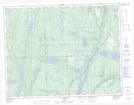
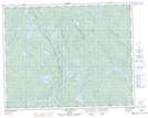
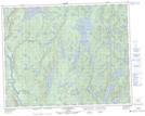
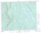
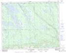
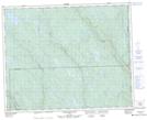
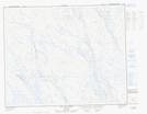
022J02 Clarke City Topographic Map at 1:50,000 scale
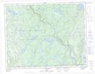
022J07 Lac Asquiche Topographic Map at 1:50,000 scale
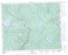
022J10 Lac Attacaupe Topographic Map at 1:50,000 scale
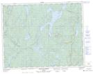
022J15 Lac Dollard Topographic Map at 1:50,000 scale
022O02 Grand Lac Germain Topographic Map at 1:50,000 scale
022O06 Lac Catoua Topographic Map at 1:50,000 scale
022O07 Lac Marceau Topographic Map at 1:50,000 scale
022O10 Lac Boudart Topographic Map at 1:50,000 scale
022O14 Lac Gaillarbois Topographic Map at 1:50,000 scale
022O15 Rapide Du Diable Topographic Map at 1:50,000 scale
023B03 Lac Aux Cedres Topographic Map at 1:50,000 scale
023B06 Lac Gras Topographic Map at 1:50,000 scale
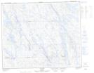
022J Sept-Iles Topographic Map at 1:250,000 scale
022O Lac Fouquet Topographic Map at 1:250,000 scale
023B Lac Opocopa Topographic Map at 1:250,000 scale